Santa Clara County, California · Franciscan Complex · Pajaro and Coyote basins

The Morgan Hill
Poppy Jasper
Field Guide

An evidence-graded survey of where Morgan Hill Poppy Jasper came from, where erosion should have carried it, and what would prove the model wrong. The sites are drawn on the USGS sheets that were current when the deposit was found, and every claim carries its source and that source's tier.
FieldGuideMorgan Hill sheet
4 FACES
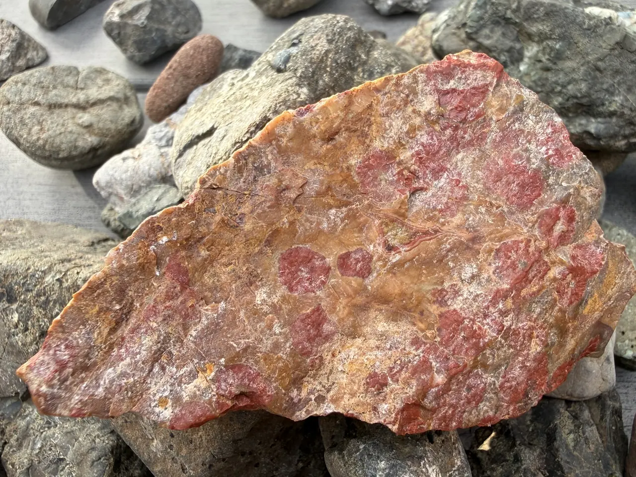
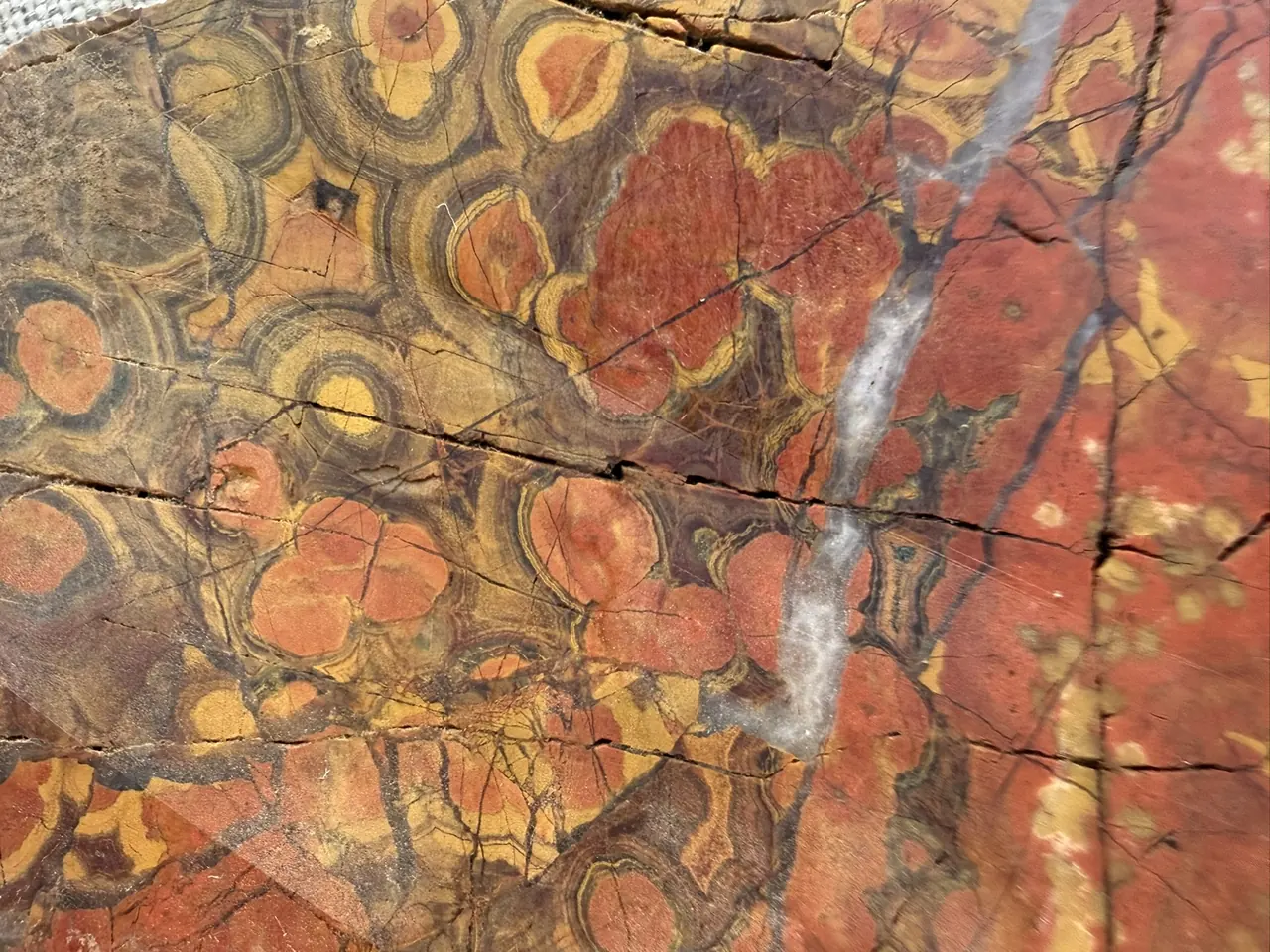
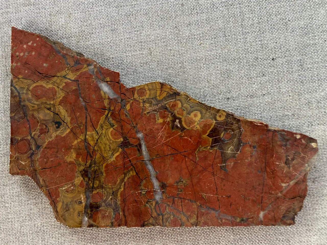
Cut and polished poppy jasper, close: gold-cored red orbs ringed in dark bands, in a rust groundmass A cut slab of poppy jasper on grey linen: red poppies and yellow-banded orbs, veined with white quartz A rough, unpolished piece of poppy jasper among creek cobbles: red poppies showing through a tan weathered surface
MORGAN HILL POPPY JASPER - orbicular jasper. Cut and polished, left and center; rough, as it comes out of the ground, right. Purchased specimens, photographed by the project owner. A reference for what the rock looks like - not a record of where it occurs, and never a coordinate.

The register, drawn over successive editions of the USGS sheet, 1917 to 1955. The   sites print in jasper at whatever intensity their evidence has earned; select one for its dossier. geol shows the mapped lithology in place of the sheet.

Select a site on the plate, or a row in the register below, and its dossier opens here.

Sheet layersmark to show

Site confidence

Lithology

Evidence bodies

Gem locality - the historic gem literature
Manganese district - the manganese record
The two bodies are 5-6 km apart and rest on separate sources. That the manganese-associated colored chert is the same material as the gem jasper is a hypothesis, not an established link.

Hydrography

Creek network (OSM)
Pajaro basin - drains south
Coyote basin - drains north
18register sites
12hypotheses with falsification tests
1sites visited
3with public access
~13originals behind the web corpus

The faces

The plate above is Plate I, drawn without its marginalia. Open the Atlas for the argued sections, the full register and the sources behind every line on it.

Nothing here is an access determination. Coordinates are exact and published deliberately. A coordinate states where something is; it is not permission to go there. Physical accessibility and legal permission are separate questions, recorded separately, and neither is settled by a dot on a map.
Renderings of a register that is the source of truth · confidence ratings and open questions travel with the content, never stripped for presentation.